Approximately 3.1 miles downriver from the Topeka Low-Head Dam
Shawnee County
River Mile: 84.5
GPS: 39.06177, -95.6605
what3words: ///encounter.giving.angel
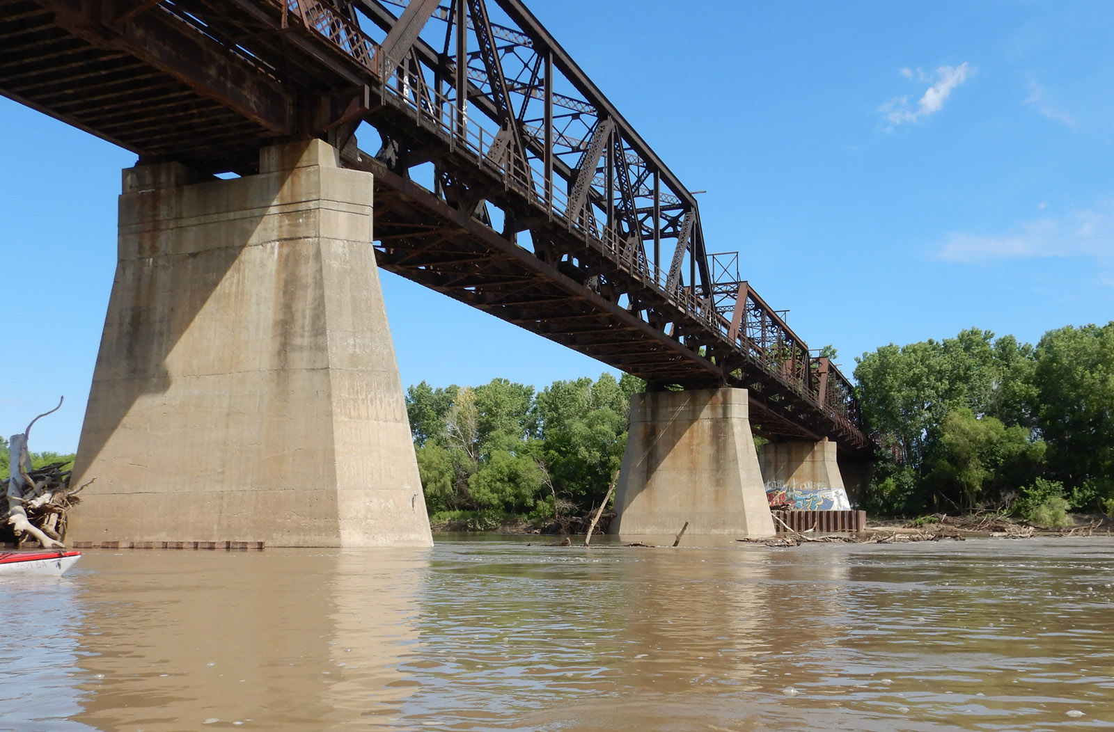
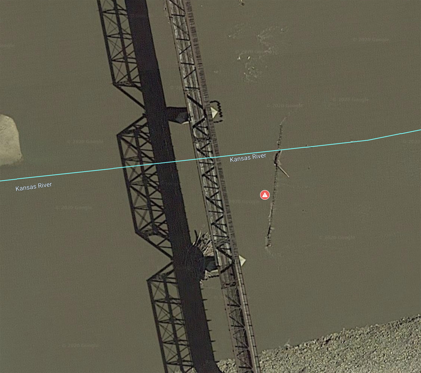
This is the second of two old railroad bridges that were dropped into the river immediately downstream of the existing railroad bridge at river mile 84.5, between the Topeka Water Plant Low-Head Dam and Access Ramp and the Seward Avenue/Fool’s Landing Access Ramp.
In low water the bridges can be hazardous and paddlers should proceed with caution. If you see parts (pipe, iron, railroad ties, etc.) sticking up through the water, avoid them. Do not paddle close to them as they are attached to the old bridge and parts of it may be just below the water. It would be dangerous to entangle your boat or yourself in this structure. Even if you do not see any obstructions, they may be just below the water’s surface. Paddling past the bridge on the right (south) bank is the best option.
Game Warden Covering Shawnee County: 785-230-4434