Douglas County Government Website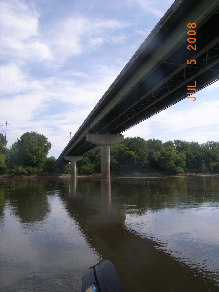
Population (2006): 112,123
Area: 456 square miles
Population density: 246 per sq mi
County History
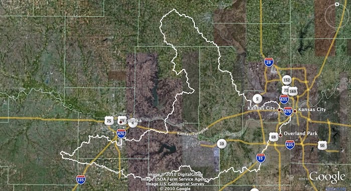
Detailed information is available from the River Inventory for
Western Douglas County and Eastern Douglas County
Western Douglas County River Inventory
View Kansas River Inventory-Western Douglas County in a larger map. Click for help with maps.
Eastern Douglas County River Inventory
View Kansas River Inventory-Eastern Wyandotte County in a larger map. Click for help with maps.
Eudora – River Mile 43
Square miles: 1.98
Population density: 3,069 people per sq mi
Watershed: Lower Kansas River HUC number 10270104
Lower Kansas River HUC number 10270104
Boat access points: Eudora Access at river mile 4
Bridges over Kaw: Main St. Bridge at river mile 42.6
Dredge sites/off river pit mines: Kaw Sand Company (owned by Master’s Dredging Company) has two in-river dredge permits at river mile 42.6 – 44.1 (in active) & 47.1 – 48.0 (active.) There are no off river pit mines near the river in this area.
Wastewater treatment: Eudora WWTP (1400 8th St 832-7835; Pop. served: 3,004)
Water source: Local groundwater wells
Water Discharge Permits
Click on markers for permit data from EPA MyEnvironment
Lawrence – River Mile 54-51
Lawrence government website
Population size: 89,852
Square miles: 28.1
Population density: 3,198 people per sq mi
Watershed: Lower Kansas River HUC number 10270104
Boat access points: River Front Park at river mile 54, 8th Street Access at river mile 51.2, Mud Creek at river mile 47.4
Hazards: Bowersock Dam is at river mile 52.3 and should be avoided. Portage is possible on the north bank but novice paddlers should take out at River Front Park.
Bridges over Kaw: I-70 Bridge/KS Turnpike at river mile 53.5, US Highway 59 Bridge at river mile 52. 4
Dredge sites/off river pit mines: Penny’s Concrete, Inc. has in-river dredge operations at river miles 49.6 – 51.35 (in active) & 45.2 – 45.7 (active.) There are no off river pit mines near the river in this area.
Power plants:Lawrence Energy Center at river mile 56, Bowersock Mills and Power Company at river mile 52.3
There is a fish consumption advisory for bottom feeding fish from the Bowersock Dam in Lawrence to the mouth of the Wakarusa River in Eudora. Click here for more information.
Water source: Surface water from the Kansas River and Clinton Reservoir. Supplemental groundwater is drawn from the Kansas River alluvial aquifer. (more information)
Lecompton – River Mile 65
Population size: 646
Square miles: 0.9
Population density: equivalent to 718 people per sq mi
Watershed: Lower Kansas River HUC number 10270104
Boat access points: Perry-Lecompton Rising Sun at river mile 65.7
Bridges over Kaw: Lecompton Rd. at river mile 65.7
Dredge sites/off river pit mines: There are no in-river dredging operations between Topeka and Lawrence. There are also no off river pit mines near the river in this area.
Click on markers for permit data from EPA MyEnvironment