Lecompton/Rising Sun Access Ramp
Northwest end of the Perry-Lecompton Bridge on Lecompton Road/County Road 1029
Lecompton, KS
Douglas County
River Mile: 64.3
GPS: 39.05057, -95.38764
what3words: ///berries.sprinkles.concept
Access Ramp: River Left
Directions: From US-24, turn south on Lecompton Road east of the town of Perry, and continue 2.5 miles. The access road is on the right just before the bridge. Look for the sign indicating Lecompton Rising Sun Kansas River Access. Take the park road that leads to the gravel parking lot. The concrete ramp is at the far end of the parking lot.
Access Information: The parking lot is dirt and will accommodate 15-20 cars, but you should scout it before paddling if there has been recent rain. The access ramp is 16 feet wide and projects into the channel at a 12% grade. This ramp has a tendency to collect mud from June through September and may impede boat launching. Call the Kansas Department of Wildlife & Parks office in Topeka to request a clean up. A flat-nosed shovel can be used to remove mud from the lower part of the ramp.
Amenities: An informational kiosk is on site. No restrooms, trash cans, or lighting. The walk to the nearest convenience store is about 1/2 mile.
Paddle Information: The next downstream access is the Lawrence Riverfront Park Access Ramp at river mile 54.1. This section of river is an easy paddle although you will pass the Lawrence Low-Head Dam (Lawrence Energy Center) on river left. At the end of this section the river becomes deep, wide, and slow as it spreads out to form the millpond for the City of Lawrence drinking water intake. If strong southerly winds are predicted on the day of your paddle, note that there is a wind tunnel effect for several miles coming into Lawrence that can be challenging.
Game Warden Covering Douglas County: 785-256-1204
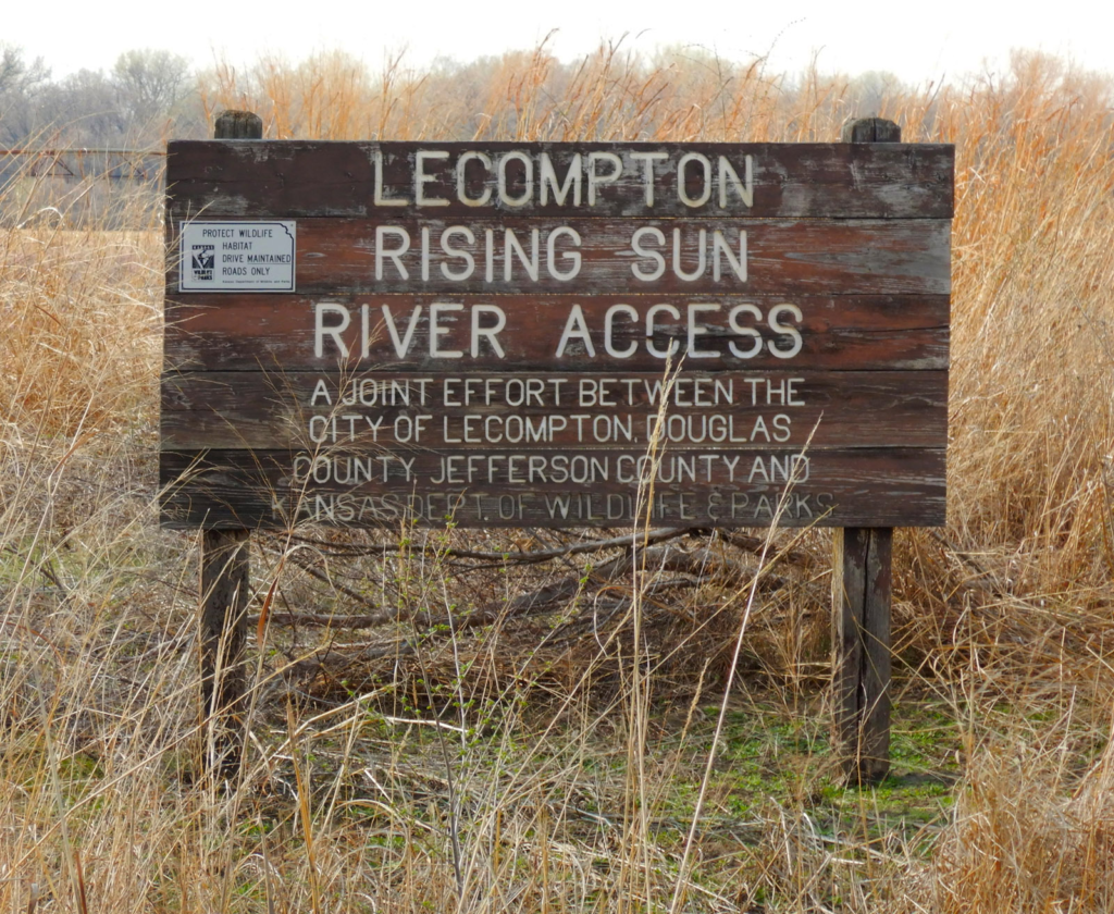
Sign at the ramp entrance. 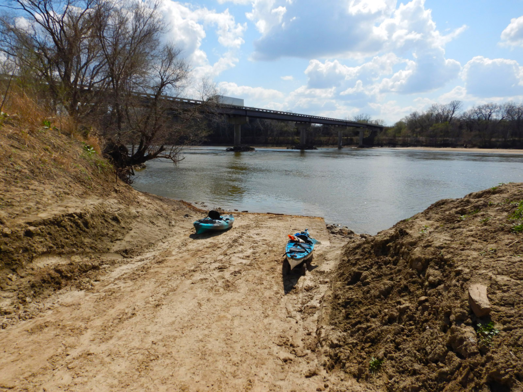
View from the top of the ramp. 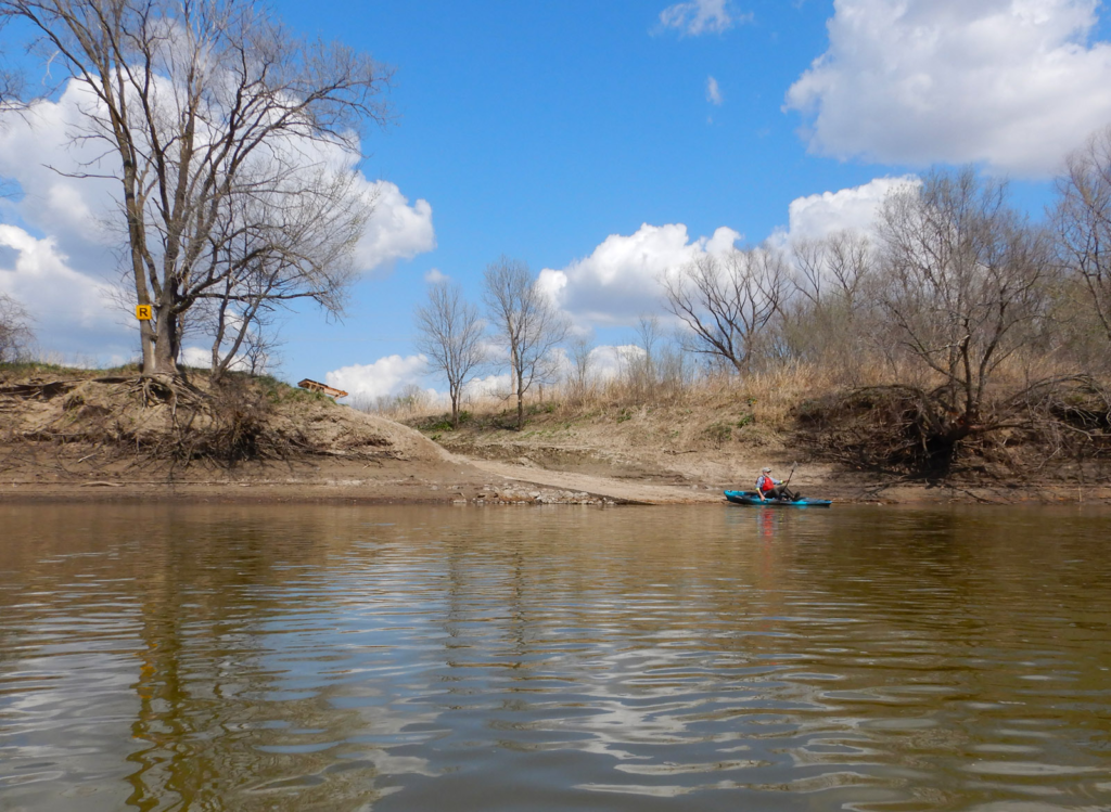
View from the river.
