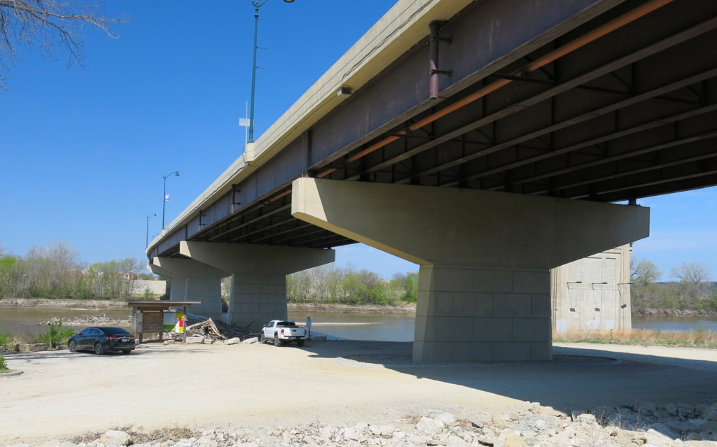
Manhattan K-177 Bridge/Fairmont Access Ramp
Below the Manhattan K-177 Bridge
Manhattan, KS
Riley County
River Mile: 150.7
GPS: 39.17428, -96.55318
what3words: ///price.funds.sends
Access Ramp: River Right
Directions: Take I-70 to the Manhattan Exit 313 and head north on K-177 approximately 8 miles. Just before you cross the Kansas River bridge, turn left on McDowell Creek Road. Take McDowell Creek Road 100 yards and turn right onto a packed gravel road that takes you under the K-177 bridge and down to the river.
Access Information: The gravel parking area is out of view from the highway. This well-developed, lighted area offers parking for 5-8 cars, some in the shade of the bridge. The concrete ramp is 20 feet wide and extends 30 feet out into the river.
Amenities: Trash can, lighting, and informational kiosk on site. No restrooms. The walk to the nearest convenience store is about .5 mile. There are also local restaurants and grocery stores a short drive away.
Paddle Information: The next access is the Linear Park/Blue River Access Ramp 1.8 miles downstream and about 1/3 mile up the Blue River on river left. Paddling from the Kansas River up the Blue River to the Linear Park access ramp can be difficult if Tuttle Creek Reservoir is releasing over 500 cfs into the Blue River. Check reservoir releases with the Army Corp of Engineers before planning your trip.
The St. George/Bogg’s Landing Access Ramp is at river mile 137, 12 miles downstream on river left. This is a nice beginner’s paddle with city services nearby at both ends, although at 12 miles, it is one of the longer day-trips.
Game Warden Covering Riley County: 784-256-3614
Parking area. 
View from the top of the ramp. 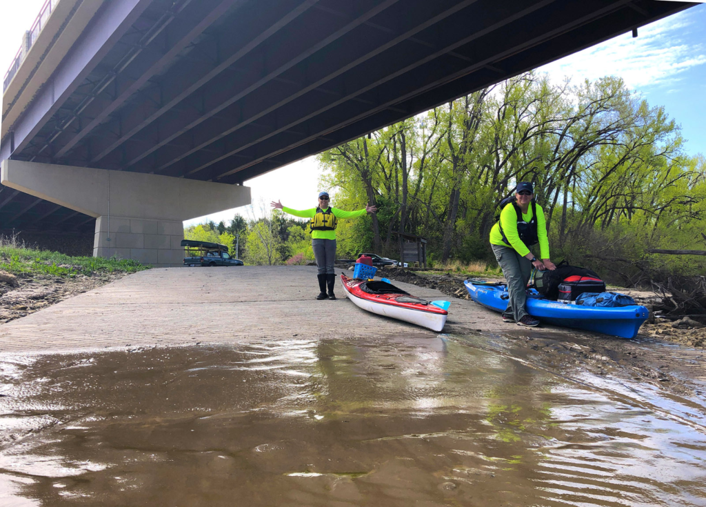
View from the river.
