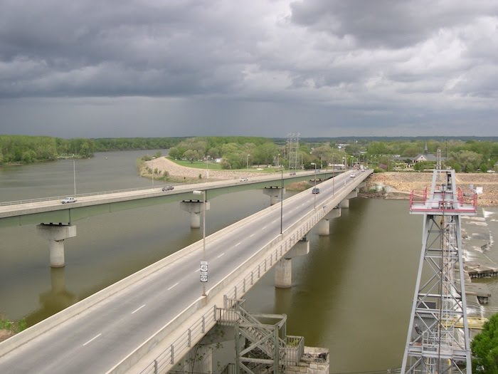
The Kansas River flows through small farming communities, suburban developments, large cities and open pastures. In its winding path through the state it touches the lives of more than forty percent of the people in Kansas. The Kaw helps to generate our electricity, it gives us water to drink, nourishes our gardens and washes away our wastes. It shaped our landscape, built our soil and recharged our groundwater. There is no more important part of our environment than the Kansas River. Yet, many people never think twice about how their lives and work are connected to the river. Please take a moment to explore your connections to the Kaw and give thanks for all that it does for us.
This section of our website brings you an in-depth tour of the river on a county by county basis. Counties along the Kaw:
Geary Riley Pottawatomie Shawnee Wabaunsee Jefferson Douglas Leavenworth Johnson Wyandotte
View Kansas River Town Map in a larger map. Click for help with maps.
Click on blue map markers for information about towns and white diamonds for information about counties.
Sub-watersheds of the Kansas River:
Upper Kansas River Tuttle Creek Middle Kansas River Delaware River
Lower Kansas River(Including Wakarusa River)
View Kansas River Town Map with Watersheds in a larger map. Click here for help with maps.
Click on blue map markers for information about towns and white diamonds for information about sub-watersheds.
