Population: 69,083 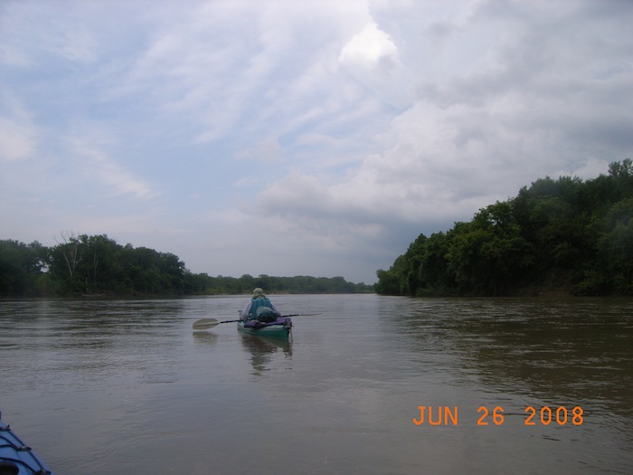
Area: 797 square miles
Population density: 87 per sq mi
County History
Detailed information is available from the River Inventory for
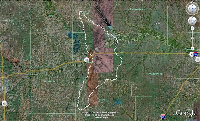
Riley County
View Kansas River Inventory-Riley County in a larger map. Click for help with maps.
Manhattan – River Mile 149
Upper Kansas River Watershed HUC 10270101
Population size (2008): 52,284
Square miles: 15
Population density: 3,486 people per sq mi
Boat access points: Manhattan at river mile 149.3
Dredge sites/off river pit mines: There are no in-river dredge sites in Riley County. There are two off river pit mines near the Kaw between Manhattan and Ogden.
Bridges over Kaw: KS Highway 177/18 Bridge at river mile 149.3
Water sources: Groundwater pumped from 16 wells near the junction of the Big Blue and Kansas Rivers.(Manhattan water quality report)
Ogden – River Mile 164
Population size (2008): 2,152
Upper Kansas River Watershed HUC 10270101
Square miles: 0.75
Population density: equivalent to 2,855 people per sq mi
Boat access points: Ogden Boat Access
Dredge sites/off river pit mines: There are no in-river dredge sites in Riley County. There are two off river pit mines near the Kaw between Manhattan and Ogden.
Bridges over Kaw: KS Highway 18 Bridge at river mile 165.1
Water Discharge Permits: none
Wastewater treatment: Ogden WWTP (Pop. served: 1,435)
Click on markers for permit data from EPA MyEnvironment
View Manhattan Water Discharge Permits in a larger map. Click for help with maps.