St. George/Boggs Landing Access Ramp
St. George, KS
Pottawatomie County
River Mile: 137
GPS: 39.18726, -96.42202
what3words: ///nibbles.donations.carnivores
Access Ramp: River Left
Directions: From I-70 take the Wamego Exit 328 north on K-99 for approximately 9.5 miles and cross the Kansas River bridge into Wamego. Continue north on K-99, which turns into Lincoln Ave to 5th Street. Turn left (west) on 5th Street, which becomes Military Trail Road. It follows the north bank of the Kansas for 7 miles. In St. George, continue past the Post Office on 1st Street, to Lincoln Street (the old gas station is a good landmark) and turn south. Go about 1/3 mile (cross the railroad tracks) and follow the road staying to the right.
From Manhattan take U.S. 24 approximately 7 miles east and turn south on Military Trail Road or Flush Road. Follow the signs into St. George.
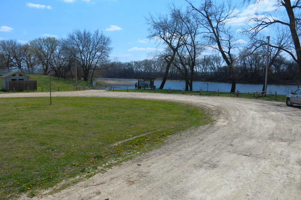
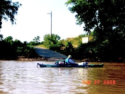
Access Information: The concrete ramp is wide enough for one vehicle. This ramp was the first Kansas River access developed by Friends of the Kaw in conjunction with the City of St. George, Westar’s Green Team, and many community members and businesses. The ramp was completed in January of 2003.
Amenities: Restrooms, trash can, barbeque, picnic table, informational kiosk, lighting, and ample parking. Best amenities on the river with easy walking to restaurants less than .5 mile away. There is a reason that St. George is known by locals as the river town!
Paddle Information: The next access is the Wamego Access Ramp 8.5 miles downriver at river mile 128. As you approach the Wamego Access from the west, it is often advisable to pass under the K-99 bridge and turn upstream next to the bank to reach the ramp.
Game Warden Covering Pottawatomie County: 785-256-3603


