Turner Bridge Access Ramp
Near 32 Hwy and Turner Diagonal
Kansas City, KS
Wyandotte County
River Mile: 9.2
GPS: 39.09396, -94.71176
what3words: ///assure.hero.manliness
Access Ramp: River Left
Directions: From I-70 take the Turner Diagonal Exit 415. Follow the Turner Diagonal southeast and turn right on South 59th Street. The entrance to the access park will be the first left.
Access Information: This is a wide concrete ramp under the Turner Bridge with a gravel parking lot for about 10 vehicles. This ramp parking lot is not often well graded. The ramp might be muddy if there has been recent high water.
Amenities: No amenities.
Paddle Information: The next access is at Kaw Point Park Access Ramp, river mile 0, on river left. This section of the river is fully controlled, with well-defined banks and almost no sandbars. The Kaw Point Park Access is a short distance from the confluence of the Missouri River. Novice paddlers should not continue past the ramp onto the Missouri River.
Game Warden Covering Wyandotte County: 785-256-1206
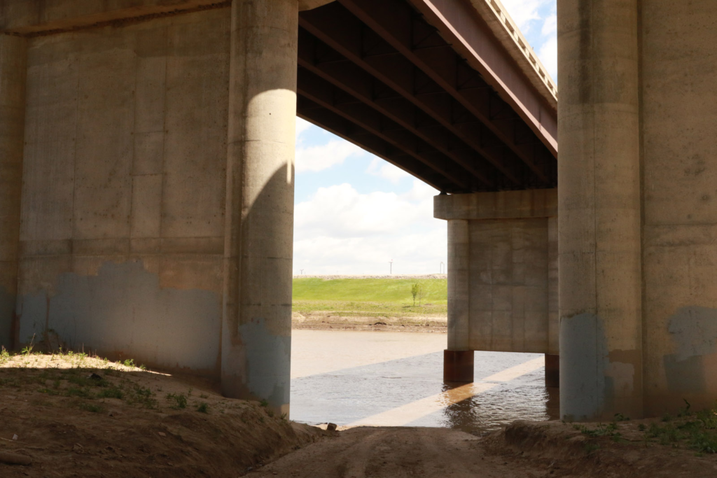
View from the top of the ramp. 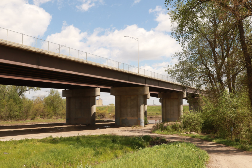
Parking area near the ramp. 
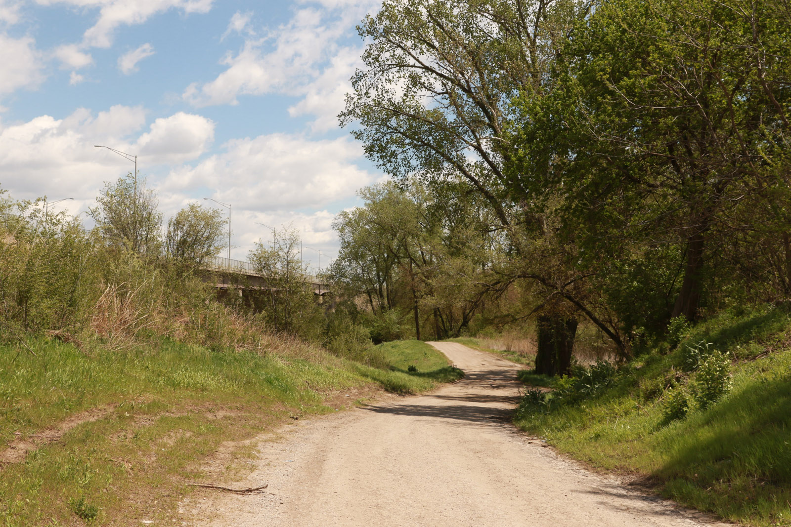
Road to the parking area and ramp.