Leavenworth County government website
Population (2006): 73,628
Area: 463 square miles
Population density: 159 per sq mi
County History
County Water sources: Surface water and groundwater from the Kansas River and Missouri River, and purchased water from Kansas City, KS (more information: Tonganoxie; Leavenworth; Rural)
Detailed information from the River Inventory is available for Leavenworth County
View Kansas River Inventory-Leavenworth County in a larger map. Click here for help with maps.
Linwood – River Mile 34.5
Population size: 389
Square miles: 0.41
Population density: equivalent to 949 people per sq mi
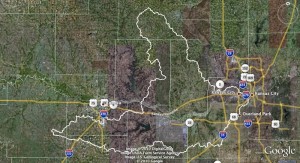
Watershed: Lower Kansas River HUC number 10270104
Lower Kansas River WRAPS website
Boat access points: Eudora Access at river mile 42
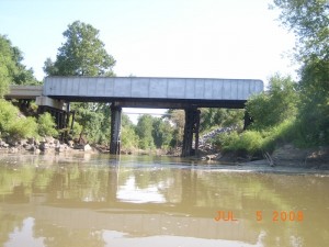
Bridges: Leavenworth County Road 1/Main St. Bridge north of Eudora at river mile 42.5
River dredges/Off river pit mines: none
Wastewater treatment: Linwood WWTP (Pop. served: 356)
Water Discharge Permits
Click on markers for permit data from EPA MyEnvironment
Tonganoxie – River Mile 42
Population size: 4,156
Square miles: 3.14
Population density: 1,324 people per sq mi
Watershed: Lower Kansas River HUC number 10270104
Lower Kansas River WRAPS website
Boat access points: Lawrence 8th Street Access at river mile 51.2
Water Discharge Permits
Click on markers for permit data from EPA MyEnvironment

