Mud Creek Access Ramp
About 5 miles east of Lawrence, KS
Douglas County
River Mile: 47.3
GPS: 38.98324, -95.16814
what3words: ///preparation.foreign.chins
Access Ramp: River Left
Because of low water levels and the changes in the river channel, this ramp is no longer maintained by the City of Lawrence. Only foot traffic for canoe/kayak passage is allowed.
Directions: This is not an easy access to find. From I-70 take the east Lawrence exit # 204 and follow U.S. 59 north approximately 1 mile to the junction of U.S. 24/40 (called Tee Pee Junction by the locals). Turn east on U.S. 24/40 and follow the highway east past the Lawrence Airport to 1600 East Road. Turn south on 1600 East Road and go 1 mile (and under the I-70 Turnpike bridge) to 1700 North Road. Turn east on 1700 North and look for a street sign for 1675 East on the right near railroad tracks. Turn right on this road and cross the tracks. Follow the road 1.2 miles as it curves left. You will see another railroad crossing and a levee. Turn right just before the Mud Creek Bridge and drive to a gated entrance. You cannot drive past the gate, but you can park along the road and walk to the access ramp.
Access Information: Access is public. There is no vehicle access, however, and conditions at the site are primitive as the ramp is no longer maintained. You must park along the road then carry your boat over the levee and down the access ramp. The Kansas River is about a ⅓ mile paddle down Mud Creek. Note that this is an unreliable access point during low river flows and sandbars commonly form at the entrance to the Kansas River.
Amenities: None.
Paddle Information: The next access is 5.3 miles downstream at the Eudora Access Ramp, river mile 42. If you plan to take out at the Eudora access ramp be sure to review the instructions on entering the Wakarusa River. Accessing the Wakarusa River can be difficult if Clinton Reservoir releases into the Wakarusa are above 700 cfs.
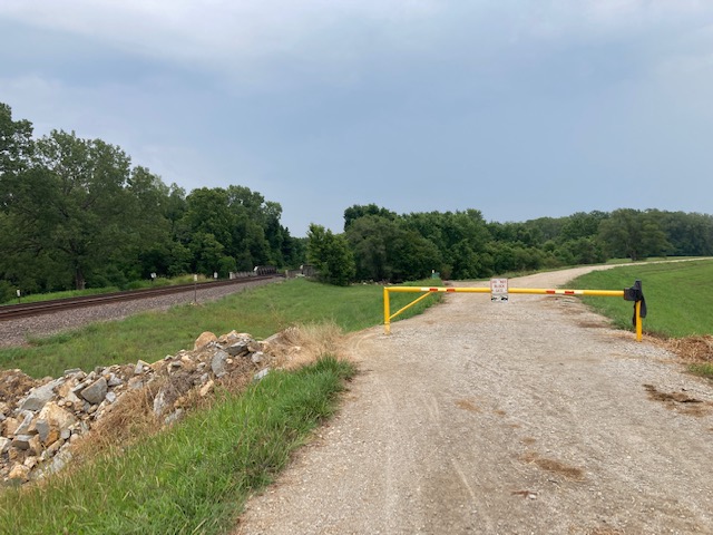
View of the levee from the parking area. 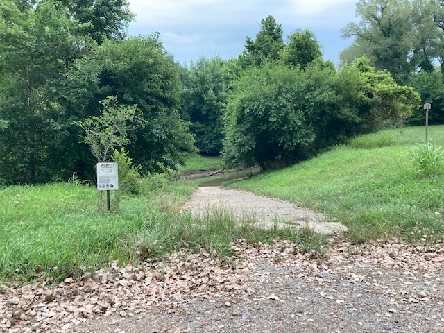
Top of the ramp. 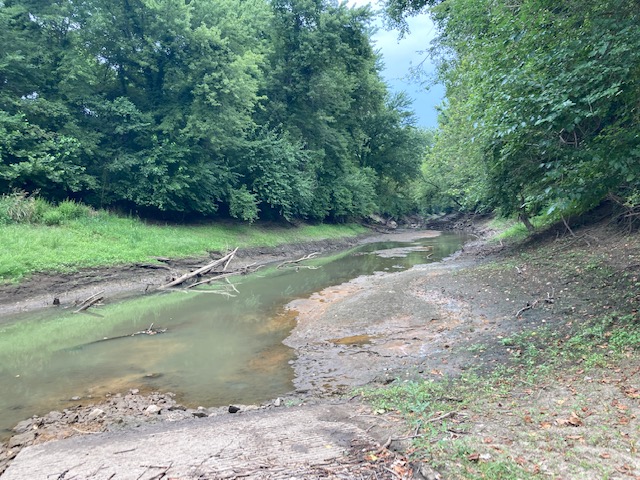
Downstream view from the ramp.