De Soto Access Ramp
Next to Riverfest Park, Ottawa Street
De Soto, KS
Johnson County
River Mile: 31.3
GPS: 38.98496, -94.9746
what3words: ///ringing.deep.refer
Access Ramp: River Right
Directions: From K-10 take the De Soto-Lexington Street exit. Go north several miles and turn north on Ottawa Street. You will go through several stop signs and over two sets of railroad tracks. The road curves left and the entrance to the access ramp is about 1/2 mile. The City of De Soto is developing Riverfest Park so you will pass several entrances to camping and picnic areas. Turn right at the entrance with the blue boat ramp sign and follow the road to a large gravel parking lot.
Access Information: Access is public and parking is plentiful, but the ramp is occasionally closed for city events. The ramp is 32 feet wide and accommodates two vehicles. Concrete is heavily grooved for traction and the base of the ramp extends out into the channel approximately 40 feet. The ramp is at a 12% grade. A sandbar regularly forms at the toe of this ramp, about every other year. It’s worth a pre-paddle scouting trip if you want to avoid portaging.
Amenities: Restroom, trash can and informational kiosk on site. No lighting. The park includes picnic areas. The walk to the nearest convenience store is about 1.5 miles.
Paddle Information: The next downstream access is the Cedar Creek Access Ramp located 5.2 miles downstream at river mile 26.1. If you plan to take out there, be sure to review the instructions on entering Cedar Creek. There is an active dredge about 4 miles downstream of this ramp, be careful near this equipment.
Game Warden Covering Johnson County: 785-256-3611
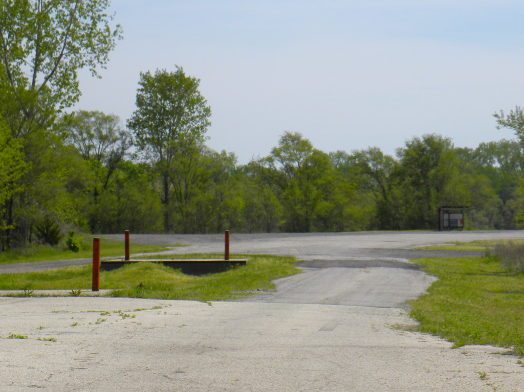
Parking area. 
Top of the ramp. 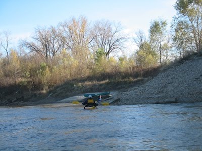
View from the river.