Edwardsville Access Ramp
River Front Park
9th St. and Woodend Road
Edwardsville, KS
Wyandotte County
River Mile: 16.6
GPS: 39.05056, -94.81665
what3words: ///tunnel.junior.joins
Access Ramp: River Left
Directions: From I-70 take I-435 south and exit on Woodend Road. Turn right and go 2 miles to the corner of Woodend Road and 9th Street. The entrance to River Front Park will be directly ahead of you.
Access Information: The access is a lighted, large blacktop parking lot. The boat ramp is concrete and well grooved for traction. Ramp extends 220 feet in length and 32 feet wide. The ramp projects into the channel 40 feet at a 12% grade and is self-scouring. A special bank fishing access is provided to the east of the ramp. This allows bank fishing that will not interfere with boat launching.
Amenities: Restroom, trash can, picnic tables and lighting. No kiosk with river information. The walk to the nearest convenience store is about 1 mile.
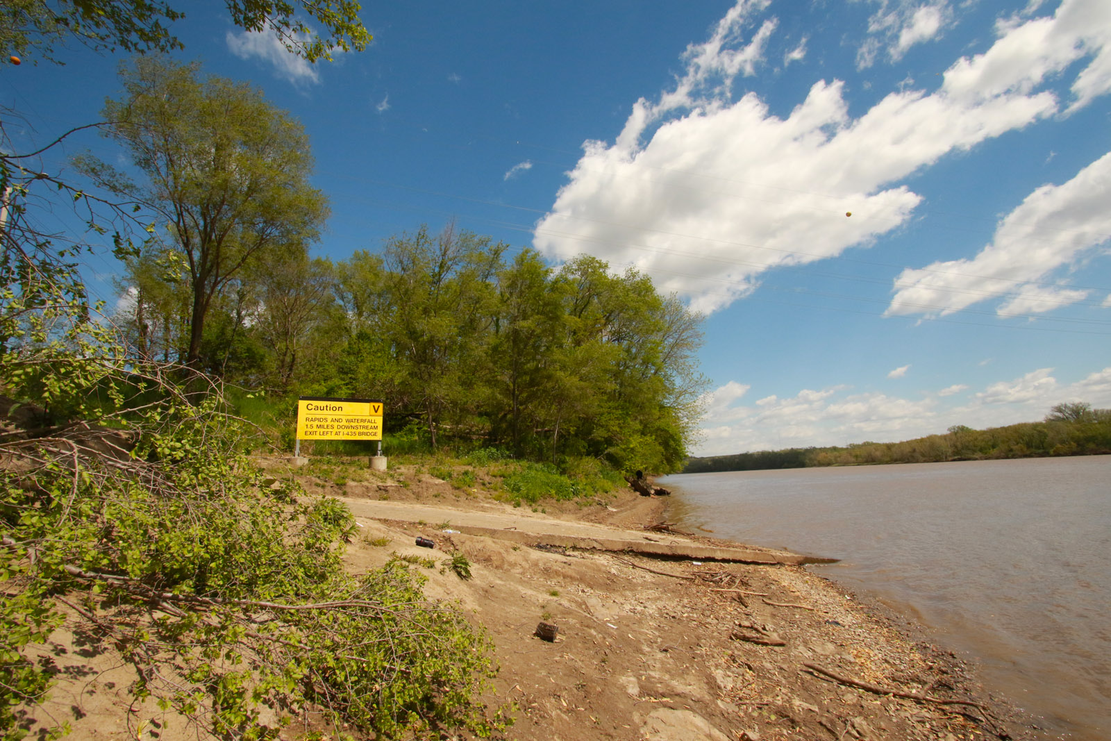
Paddle Information: The next access is one mile downstream at Mill Creek Streamway Park Kayak and Canoe Access and about one mile up Mill Creek on river right. For a day trip, the next access ramp is Turner Bridge Access Ramp. Be aware of the WaterOne Low-Head Dam 2.5 miles downstream at River Mile 14, just east of the I-435 bridge. THIS IS A LOW-HEAD DAM AND YOU SHOULD NOT GO OVER IT IN ANY VESSEL. ALL PORTAGE SHOULD BE DONE VIA LAND ON THE NORTH BANK (RIVER LEFT) .
Game Warden Covering Wyandotte County: 785-256-1206

Entrance and parking area. 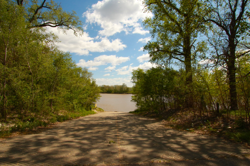
Top of the ramp. 
View from the bank.